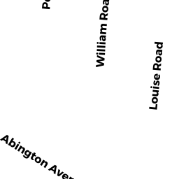
15 WILLIAM RD
Owner Information
LEROY NICHOLE
15 WILLIAM RD
HOLBROOK, MA 02343


Property Details
15 WILLIAM RD is classified as a Single Family Residential (Ranch).
The primary structure on this property was built in 1956. There are 1,008ft2 of built area within this property. There is 1,008ft2 of residential/living space within this property. This property is listed as having 6 rooms.
15 WILLIAM RD is valued at $230,200. The land is valued at $130,300 and the structures are valued at $99,600. There is an additional valuation of $300 on this property.
This property is in Zone R3. Confirm with local Zoning Board authorities to ensure there are no overlays or other easements on this property.
The most recent deed for 15 WILLIAM RD is recorded at the local registrar in Book 31845, Page 108. 15 WILLIAM RD was last sold on Thursday, October 24, 2013 for $205,000.
Assessment data from fiscal year 2018.
Flood Data
According to the FEMA National Flood Hazard Layer, this property does not appear to be in a flood zone. It may also be in an area not yet reviewed. Nonetheless, confirm this information prior to taking any action.
To view the flood hazards around this property, create a FEMA "Firmette" Map of the area around 15 WILLIAM RD.
Broadband Internet Providers
| Provider | Type | Bandwidth (mbps) | |
|---|---|---|---|
| Comcast | Cable | 1000 | 35 |
| HughesNet | Satellite | 25 | 3 |
| GCI Communication Corp. | Satellite | 0 | 0 |
| VSAT Systems, LLC. | Satellite | 2 | 1 |
| Verizon New England Inc. | Fiber | 940 | 880 |
| Viasat Inc | Satellite | 100 | 3 |
Broadband service provider data from December 2020.
Adjacent Properties
- 19 WILLIAM RD
Single Family Residential owned by LYNCH JAMES P + CATHERINE - 16 LOUISE RD
Single Family Residential owned by LEONARD KEITH - 12 LOUISE RD
Single Family Residential owned by SHEA KATHLEEN M - 8 LOUISE RD
Single Family Residential owned by ANAGNOS JOHN C + DAWN E - 9 WILLIAM RD
Single Family Residential owned by WATERS FREDERICK P